
Blue carbon · Digital MRV · Spatial ledger
Find the mudflats worth restoring — before you write the PDD.
Site-finder is a parcel ledger for tidal wetland restoration. It serves mapped, eligibility-screened plots with baseline soil carbon and 20-year tCO₂e projections.
The problem
Most mangrove projects stall at site selection.
Teams draw polygons by hand, then discover the land was already vegetated, too small to credit, or missing a soil-carbon baseline. Months go into a PDD before anyone can say whether the plot is even eligible.
Site-finder publishes only parcels that already cleared a satellite screen: intertidal mudflat, ten years of non-forest history, and a mapped boundary. Each record carries the numbers a developer, verifier, or carbon desk needs next.
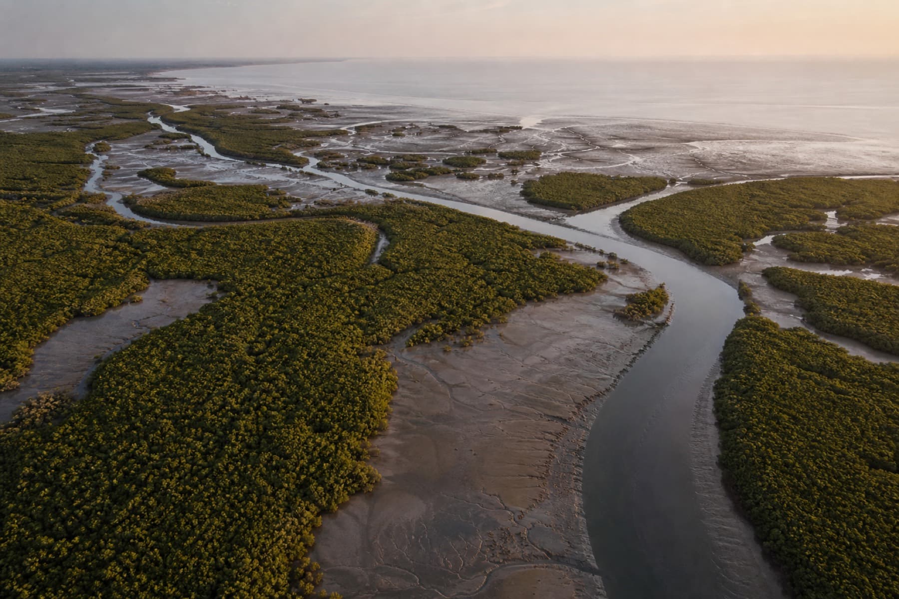
The live layer is Coringa-Godavari in Andhra Pradesh — thirty-three intertidal mudflat plots beside a sanctuary that holds about forty percent of the state’s mangrove cover. The ledger points at the unvegetated flats that can still be restored.
33
Viable plots
All intertidal mudflat
423 ha
Restoration area
5–56 ha per parcel
61,563
Baseline SOC (Mg C)
145.2 Mg C/ha
55,117
20-year tCO₂e
Modeled, not issued
How a parcel gets on the ledger
Four steps. Then the map is honest.
- 01
Map the intertidal zone
Polygons come from satellite pixels, not hand-drawn squares. Each feature carries geometry, pixel count, and a centroid you can open in Maps.
- 02
Screen for additionality
A plot stays only if it was non-forest for the prior ten years and still reads as mudflat on 2016 NDVI. You are not planting over existing canopy.
- 03
Attach the carbon ledger
Every parcel stores SOC density, baseline soil stock, and a 20-year tCO₂e projection, tagged to Verra VM0033 and BEE CCTS mangrove A/R.
- 04
Serve it as an API
List, filter by area or state, fetch one parcel, or pull the regional summary. Selected parcels import straight into a project.
A mapped inventory, not a pin drop
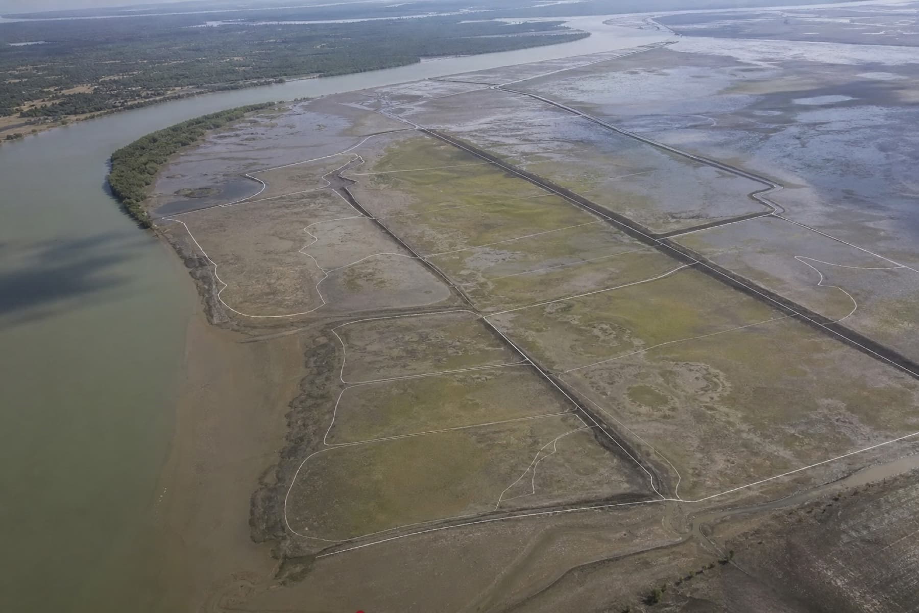
Parcels are real polygons. Click the boundary, inspect the stock, select the plot.
Eligibility already applied
Ten-year non-forest history and low NDVI are on the record. The hard screen is done before you open the map.
Carbon numbers sit on the geometry
SOC, area, and 20-year tCO₂e travel with the parcel. No separate spreadsheet to reconcile later.
The landscape
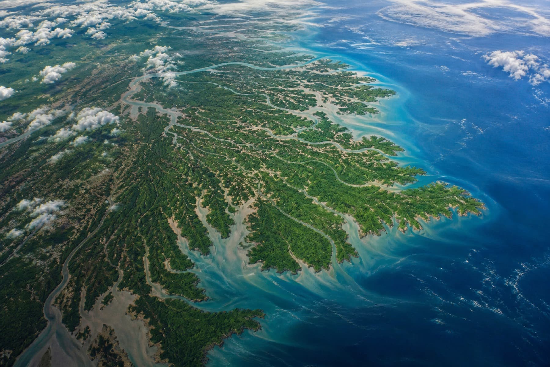
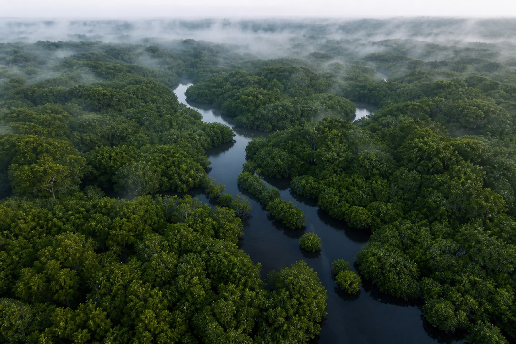
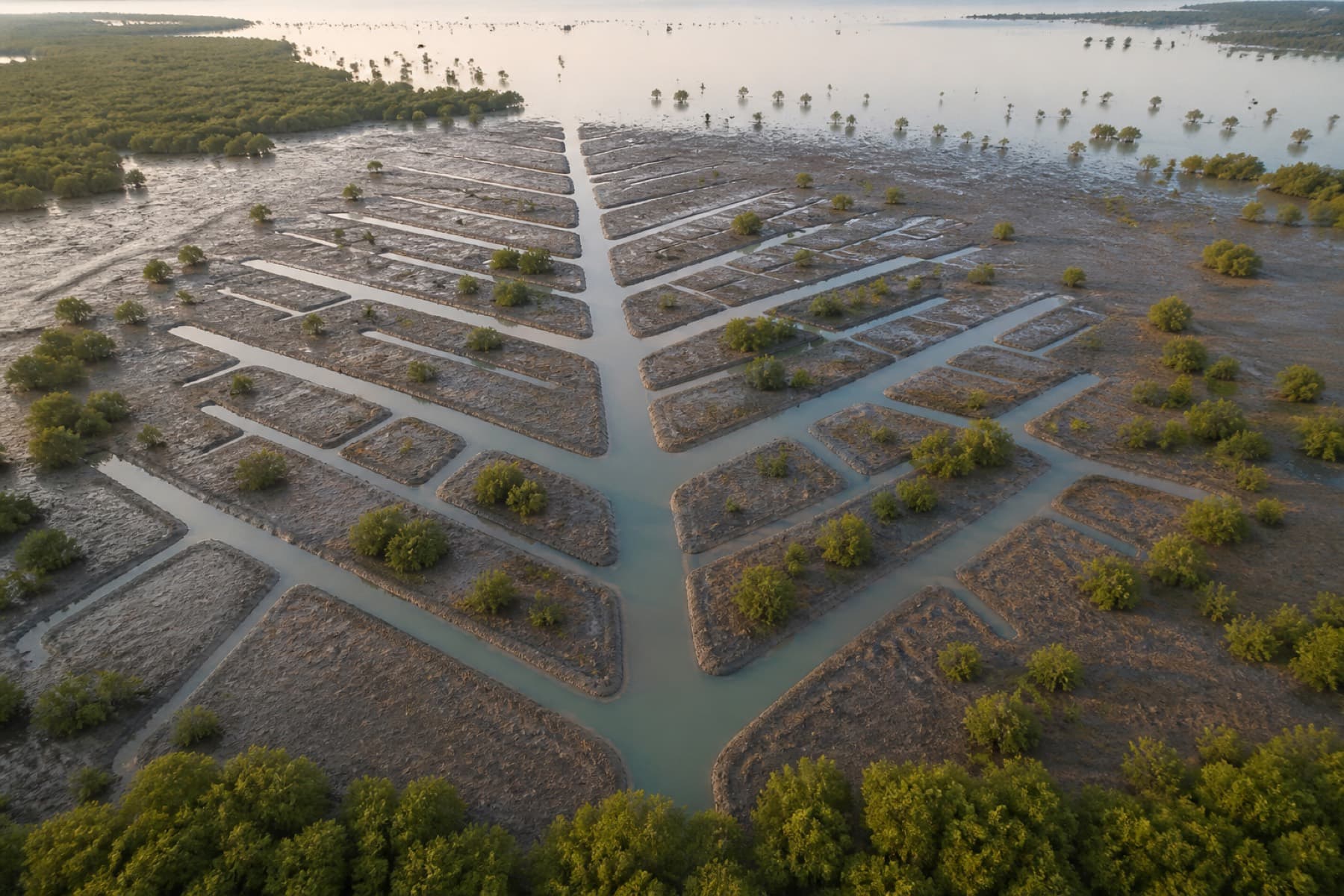
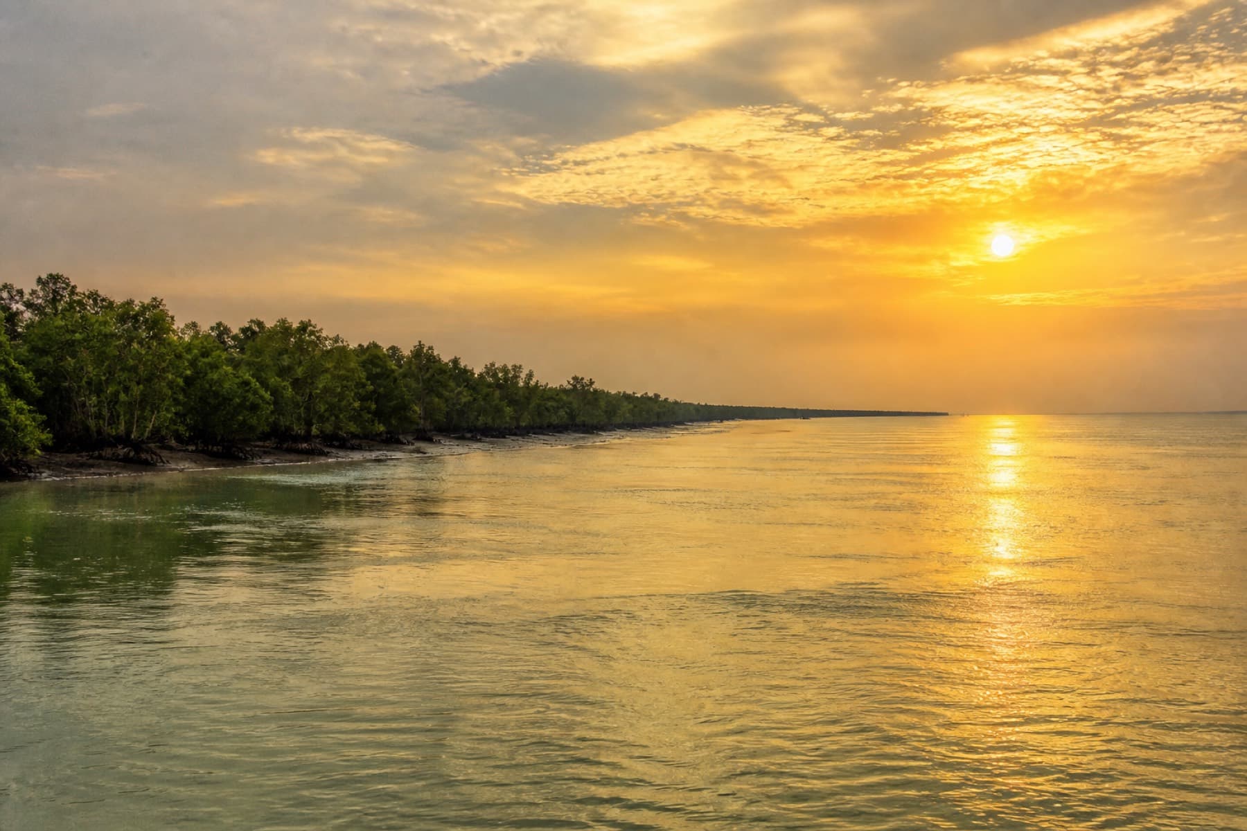
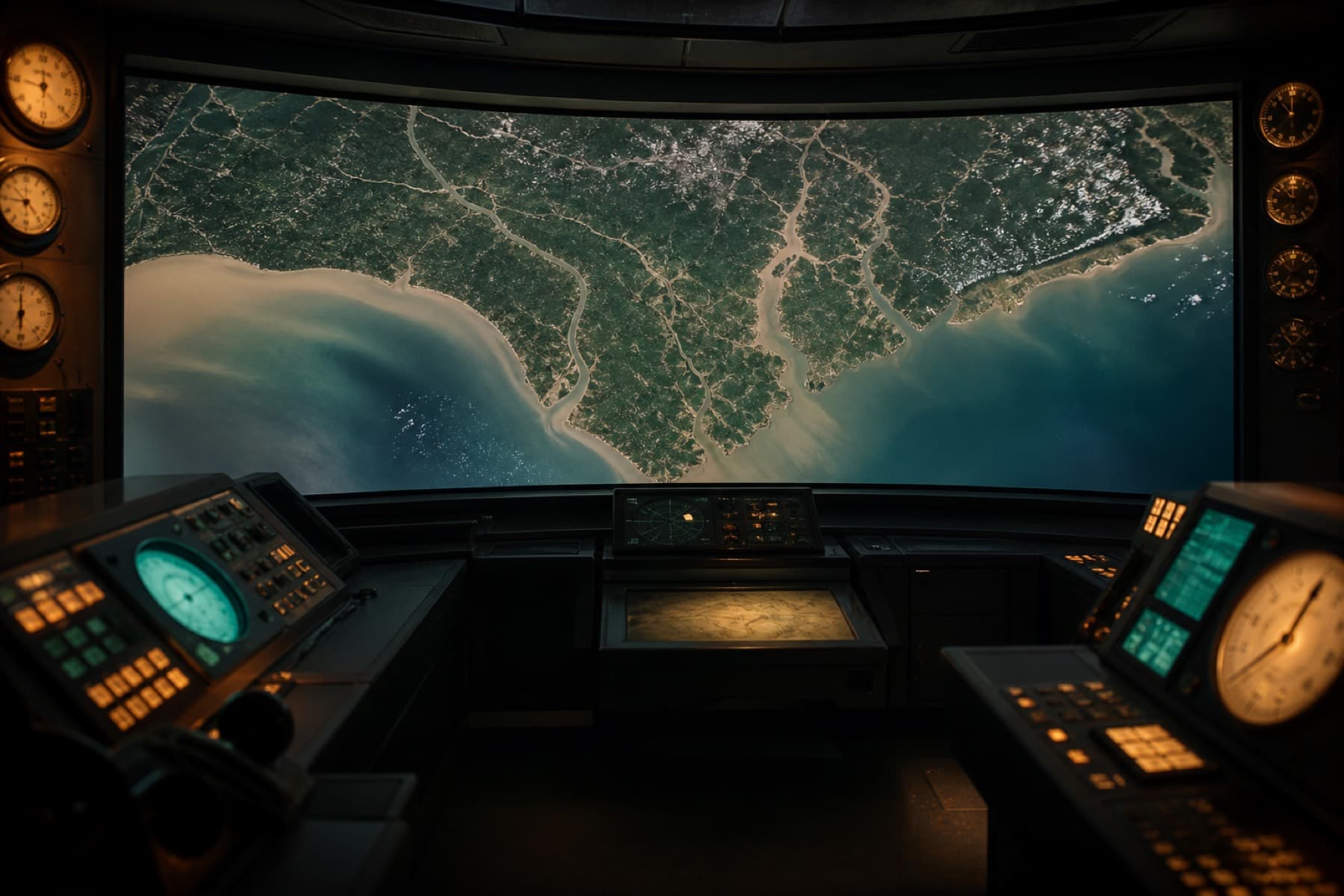
Coringa–Godavari, seen as the engine sees it.
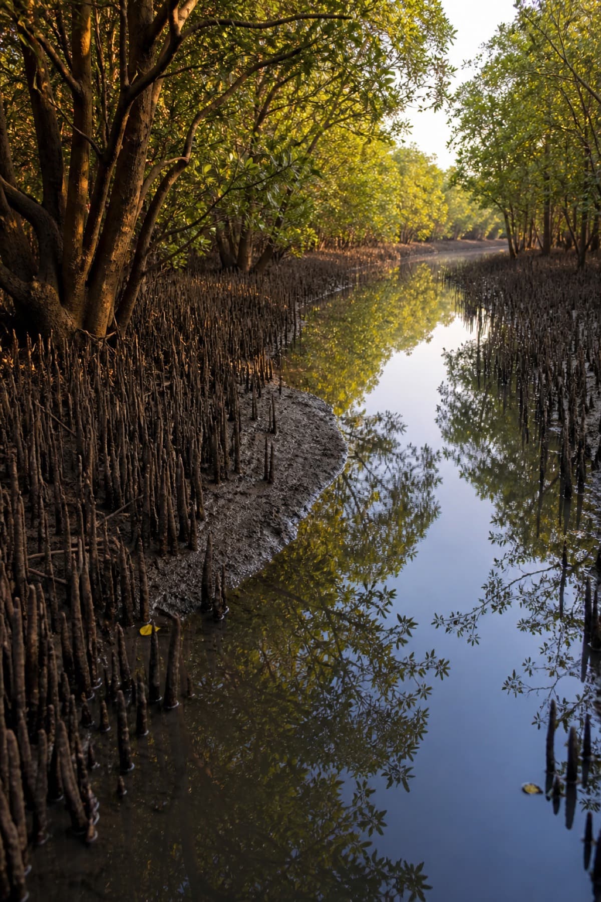
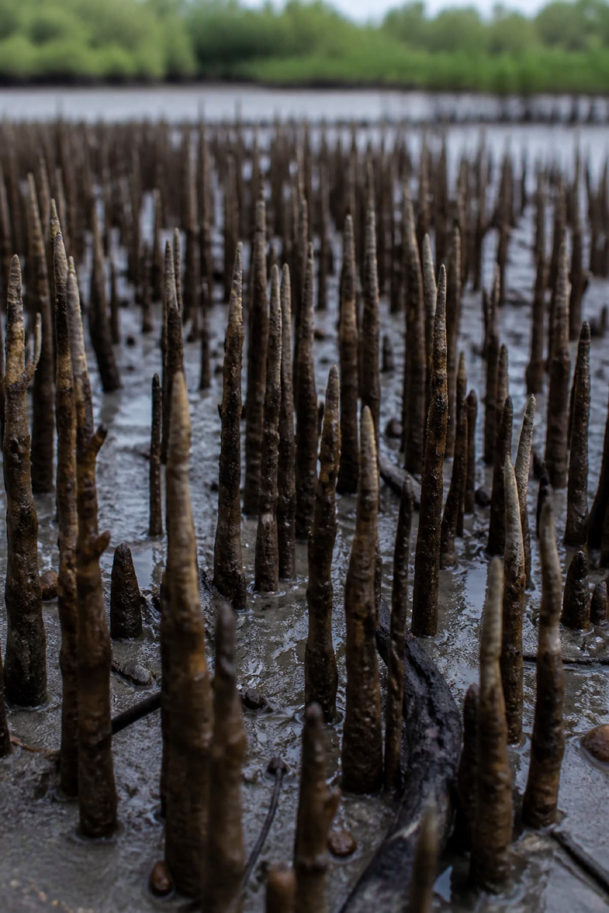
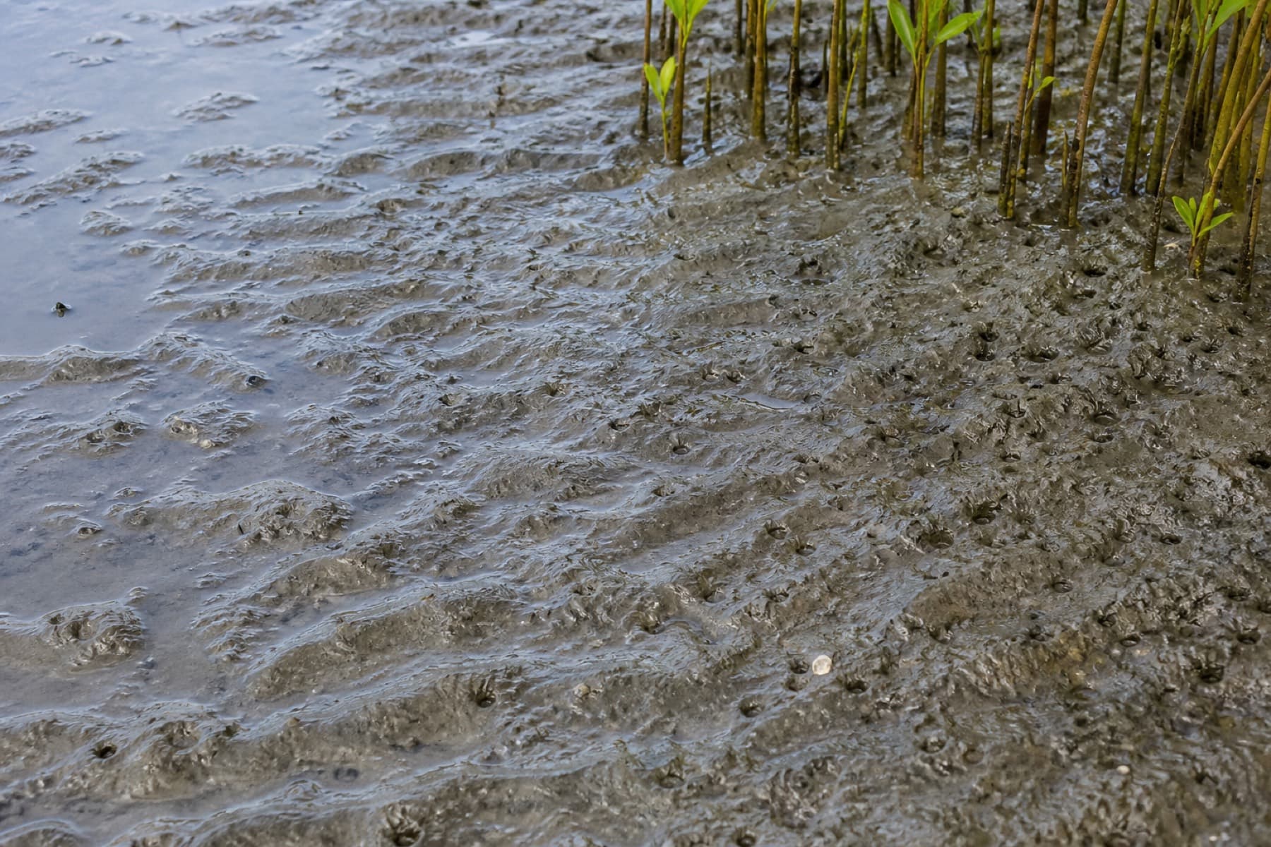
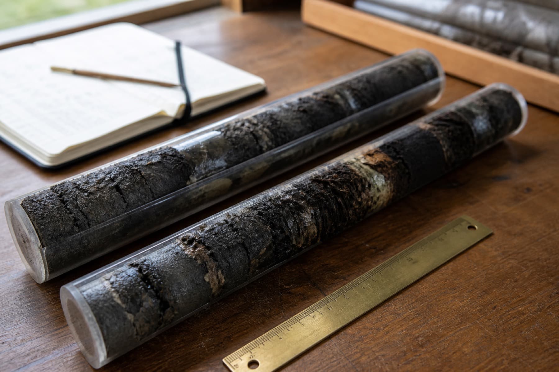
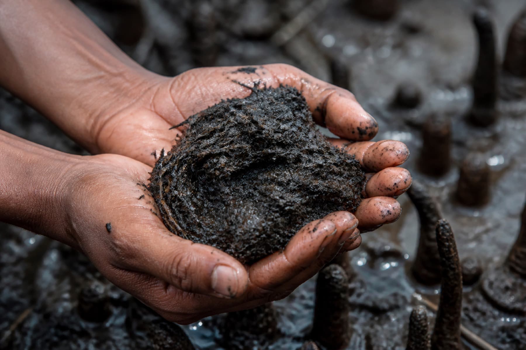
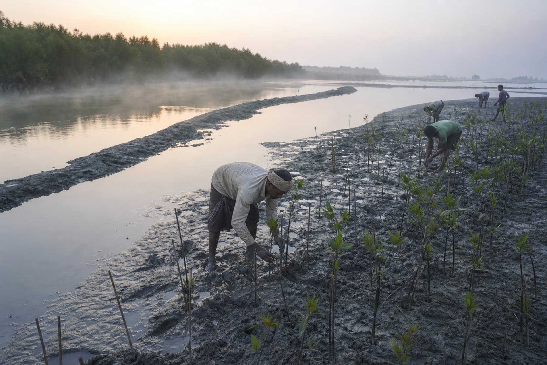
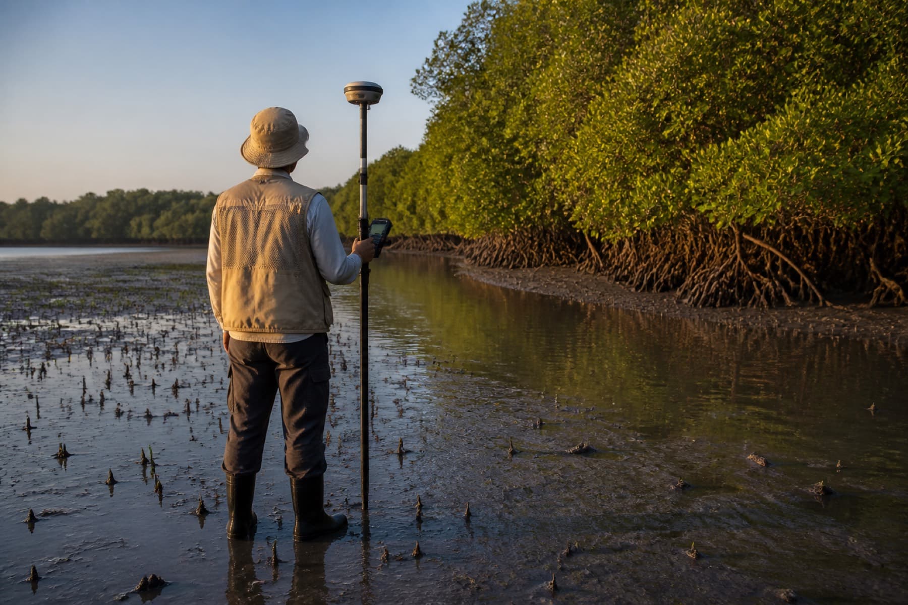
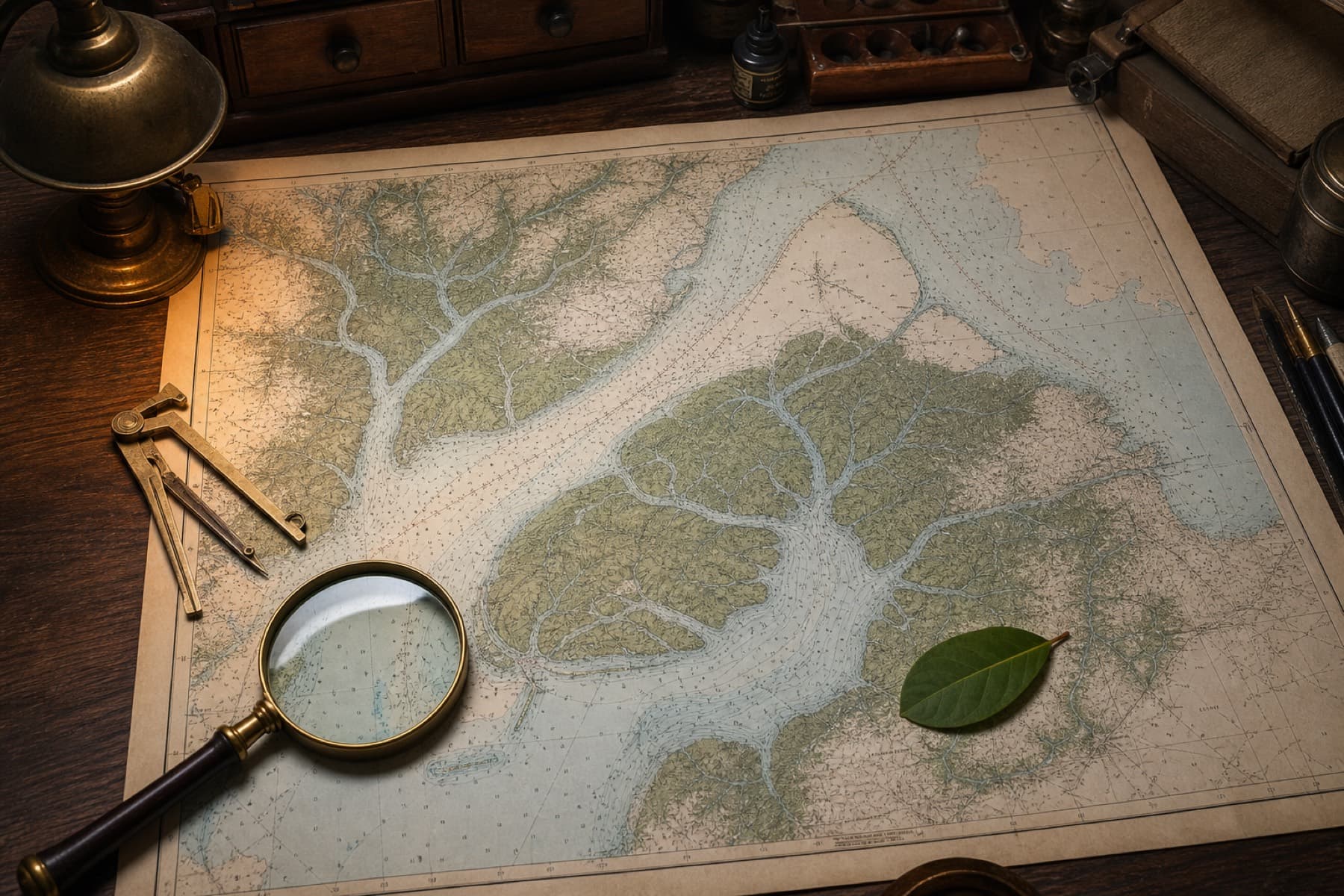
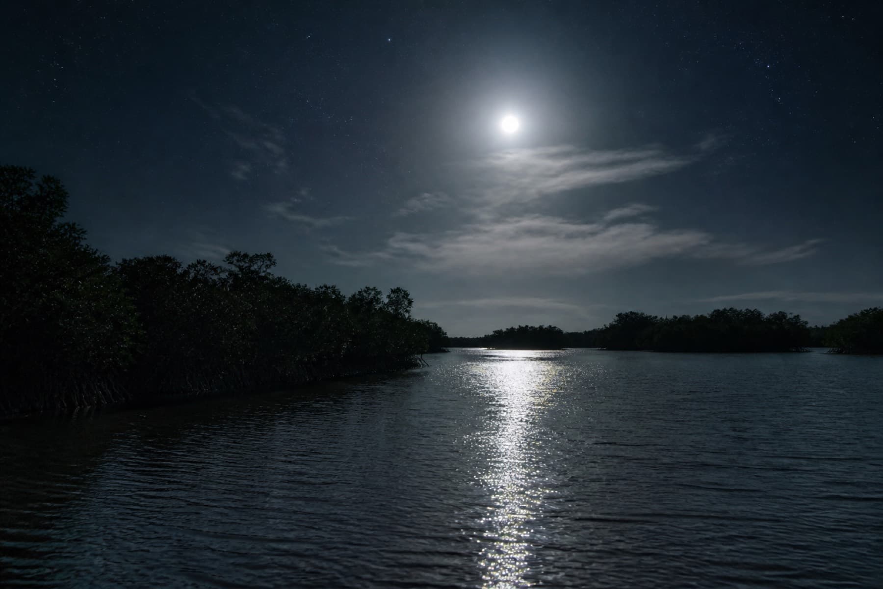
Every image on this page was made for the ledger: estuary, mudflat, soil, satellite, restoration, and the instrument room behind the API.
Methodology
VM0033 in the water. CCTS on the books.
Projections follow Verra VM0033 for tidal wetland and seagrass restoration, and are aligned with India’s BEE CCTS methodology for afforestation and reforestation of degraded mangrove habitats (BM FR05.001). Figures are modeled from the parcel ledger. They are not issued carbon credits and do not replace field plots, validation, or an Accredited Carbon Verification Agency.